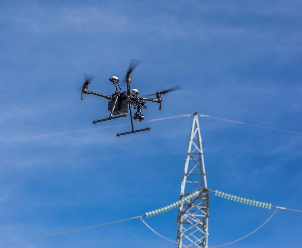
Alternative modern methods of obtaining data on the technical condition of the overhead lines also include the results of surveys based on following remote sensing technologies:
- Aerial laser scanning is a technology for obtaining spatial information of objects using laser scanners.
Sensing results:
- remote monitoring of 110 kV overhead lines and their exclusion zones using aerial scanning and digital survey methods;
- remote sensing materials will enable to determine:
- the geometrical parameters of the subject overhead lines in question; the areas and volumes of trees and shrubbery in the exclusion zone of the overhead lines;
- sections of overhead lines with vegetation creating preconditions for violations of the overhead line operation rules.
Results:
- overhead line support centre coordinates;
- angle of curvature of the overhead line route;
- span length;
- tables outlining areas and volumes of trees and shrubbery in the actual forest corridor;
- coordinates and heights of trees that may fall on the overhead line structural elements;
- tables outlining verticality deviation and offset of the supports;
- misalignment of phase wires in the overhead line span;
- state of wire protection of the overhead lines from lightning overvoltage;
- amount of deflection in each span at the time of sensing;
- lists of minimum distances to earth;
- lists of violations of distances to objects;
- lists of the minimum distances to all linear objects crossed;
- mutual induction corridors;
- three-dimensional models of the overhead lines (displayed in 3D format);
- thematic vegetation plans in KMZ format.
- use of unmanned aerial systems in sensing, i.e. photographing the area from an airplane, helicopter or other aircraft using a special camera.
Sensing results:
- determine coordinates of overhead line supports;
- calculate angles of verticality deviation of the supports;
- assess the state of trees and shrubbery in the exclusion zone of the overhead lines;
- determine the conductor clearance to earth.
Processing of measurement results and developing models:
- building of a digital orthophotograph with a selective display of vector layers;
- analysis of changes in the overhead wire and conductor clearance to earth; estimation of distances between the conductor/wire and other object (engineering structures, other overhead conductors, wires, trees and shrubbery, etc.) when changing:
- conductor temperatures (within the maximum ranges for the terrain of the overhead line section) to earth or the nearest object under the conductor (to vegetation, a conductor below, a ground engineering structure);
- ice load (within the maximum range for the terrain of the overhead line section) - to earth or the nearest object under the conductor (to vegetation, a conductor below, a ground engineering structure);
- wind load on the conductor (within the maximum range for the terrain of the overhead line section) to vegetation, a nearby conductor, an engineering structure, and support structural elements;
- satellite monitoring is a survey using automatic processing methods for images taken from spacecraft equipped with various equipment.
Sensing results:
Providing services for detecting and classifying objects of forest and shrub vegetation in the exclusion zone of the overhead line using automatic processing methods for images obtained by remote sensing satellites to:
- identify non-compliance with PUE requirements in terms of overhead line operation;
- update information regarding the maintenance of the exclusion zones of the overhead lines in normal conditions.
For data processing, automated methods of recognition (processing) and data analysis should be applied using a specialised software and hardware complex that can demonstrate the obtained materials for the areas surveyed, with complete coverage of the surveyed sections of the overhead lines’ exclusion zones.

